Know Your Land. Instantly.
XperJet helps farmers, landowners, real estate agents, developers, and buyers identify land locations with clear aerial views, professional boundary visualization, and a unique XperJet ID.
- 500+
- Plots mapped
- 99.8%
- Boundary accuracy
- 24h
- Avg. turnaround
XperJet ID
#XJ-0427-AP
Area
2.53 acres
Coords
16.42°N 80.62°E
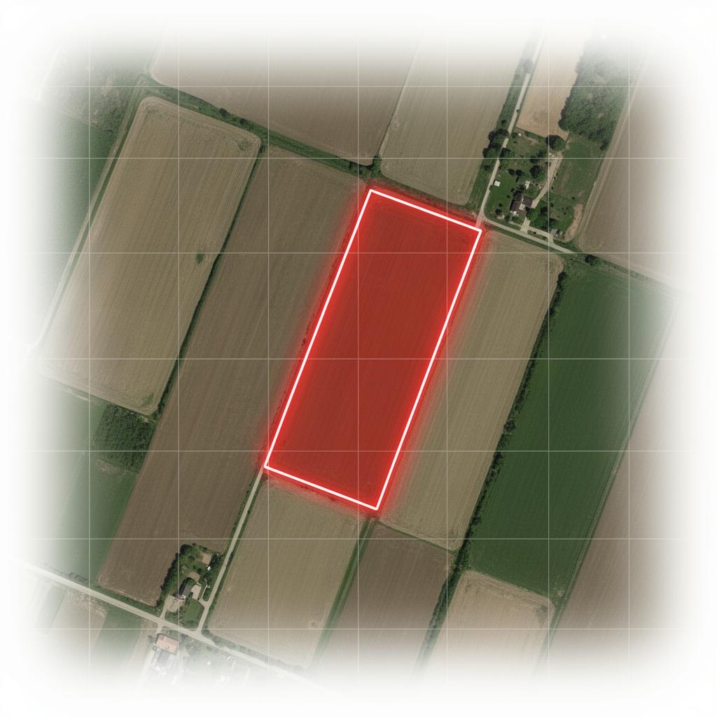
Boundary visualization
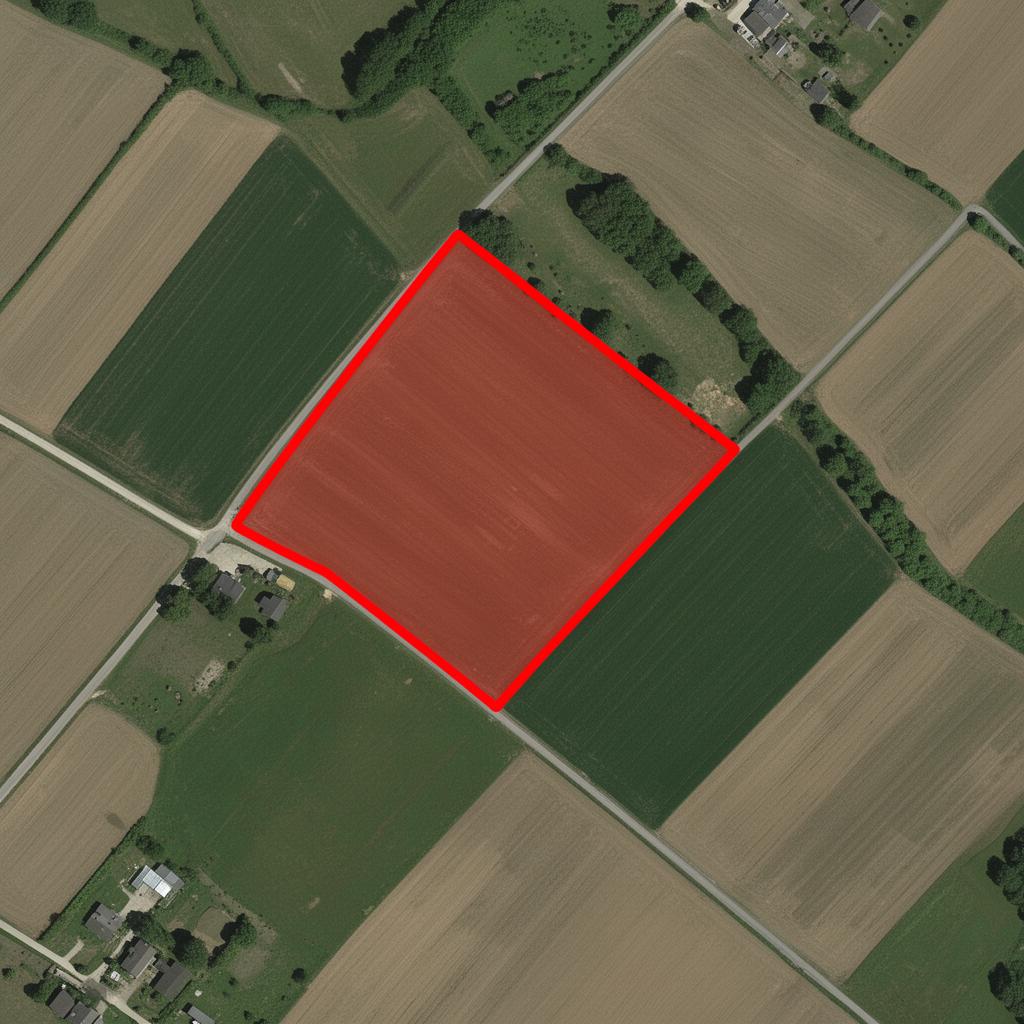
Pixel-precise outlines on real satellite imagery.
What is XperJet
A better way to identify and understand land.
XperJet transforms land information into easy-to-understand visual maps. We help people locate, present, and share land locations professionally using aerial imagery and clear boundary visualization.
- Real satellite imagery, not abstract sketches.
- A unique XperJet ID for every plot you register.
- Shareable presentations buyers actually trust.
Who uses XperJet
Built for everyone who works with land.
Farmers
Document and present your fields with verified plot boundaries.
Land Owners
Keep a proof-of-record for every parcel you own.
Real Estate Agents
Win listings with professional aerial visuals.
Plot Sellers
Sell faster with a shareable, trusted land profile.
Developers
Plan projects with accurate boundary intelligence.
Land Buyers
Buy with confidence — see exactly what you're getting.
Why XperJet
The clearest way to show what you own.
Avoid Location Confusion
Pinpoint exact plots — no more wrong turns or guesswork.
Save Time on Site Visits
Preview land from above before stepping outside.
Clear Boundary Visualization
Crisp outlines drawn over real satellite imagery.
Professional Presentation
Show your land like a top-tier developer would.
Easy Sharing
One link or PDF — works on WhatsApp, email, anywhere.
Better Buyer Confidence
A verified XperJet ID earns instant trust.
Pricing
Simple, transparent pricing.
One flat fee per land. No subscriptions, no surprises.
XperJet Land Profile
One-time payment
- Unique XperJet ID
- Land Location Mapping
- Clear Boundary Visualization
- High Quality Land View
- Shareable Land Presentation
- WhatsApp Support
Typical delivery in 24 hours.